Satellite and aerial maps of El Dorado with nearby locations
El Dorado International Airport, Calle 78, UPZ Garcés Navas, UPZs Localidad Engativá, Localidad Engativá, Bogota, Bogota, Capital District, RAP (Especial) Central, 110041, Colombia
| 4° 42' 5.74'' N 74° 8' 49.01'' W | | Bogota, Bogotá | | ICAO: SKBO | IATA: BOG | | Elevation: 8361 feet |
List of units at El Dorado |
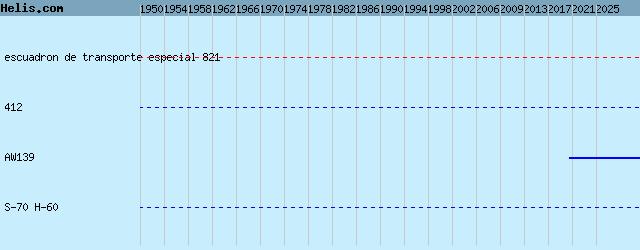
List of aircraft and events at El Dorado |
|
|
Helicopters for sale
Accidents
Acronyms
Airshows
Future helicopters
Flying a helicopter
Helicopter stories
TV and movies
Helicopter books
Helicopter patches
Helicopter model kits

Download App
|