Satellite and aerial maps of McMinnville Muni with nearby locations
McMinnville Municipal Airport, 4000, Southeast Cirrus Avenue, McMinnville, Yamhill County, Oregon, 97128, United States
1943 to present | | 45° 11' 35.52'' N 123° 8' 20.40'' W | | 3nm SE of McMinnville, McMinnville, Oregon | | ICAO: KMMV | IATA: | FAA: MMV | | Elevation: 162 feet |
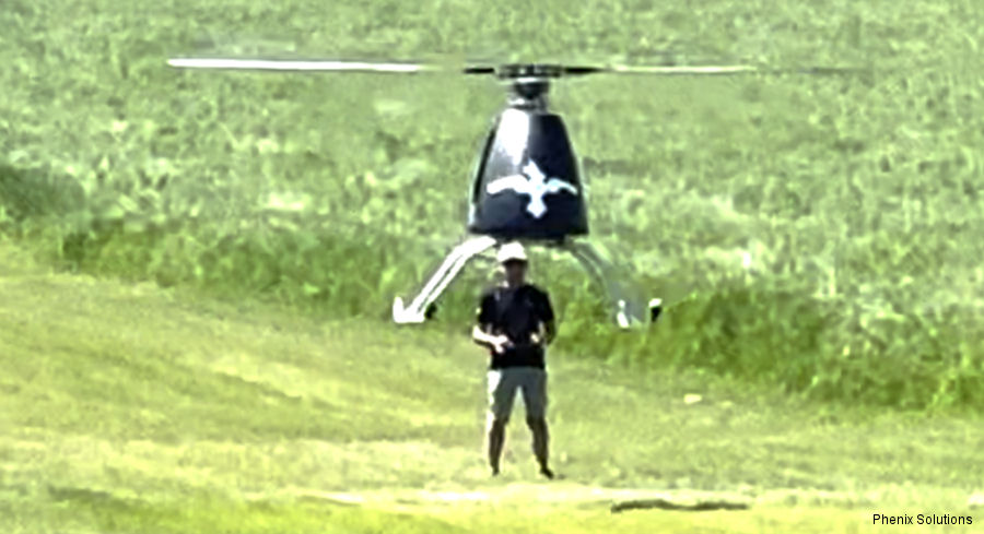
24-May-23 - Phenix Solutions in Oregon completed maiden flight of its delivery drone Half-Pint, a turbine powered vtol with a payload of 250 lbs ~ 113 kg #drones
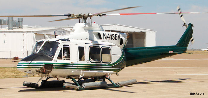
25-Jun-15 - Erickson instructors will train FAU pilots in Bell 412 in preparation for work on the United Nations Stabilization Mission in the Democratic Republic of the Congo (MONUSCO).
List of aircraft and events at McMinnville Muni |
By Date | By Serial | By Model
|
|
Helicopters for sale
Accidents
Acronyms
Airshows
Future helicopters
Flying a helicopter
Helicopter stories
TV and movies
Helicopter books
Helicopter patches
Helicopter model kits

Download App
|