Satellite and aerial maps of Kodiak with nearby locations
| 57° 45' 0.00'' N 152° 29' 38.41'' W | | Kodiak Island, Alaska, Kodiak, Alaska | | ICAO: PADQ | IATA: ADQ | FAA: ADQ | | Elevation: 78 feet |
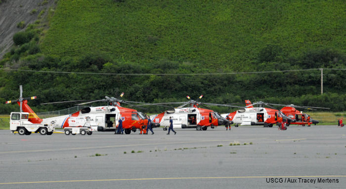
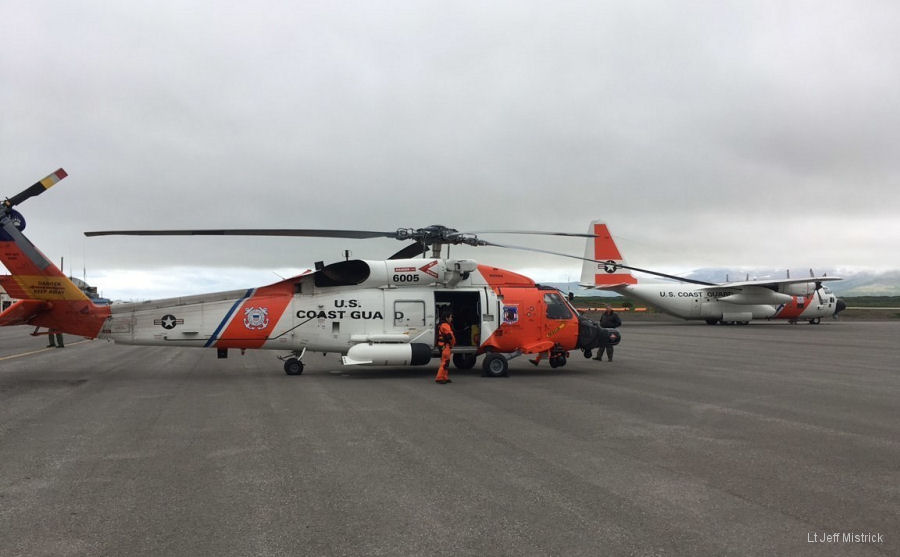
07-Aug-18 - US Coast Guard MH-60T Jayhawk aircrews from Kodiak air station transit more than 1200m /1930km supported by HC-130 to MedEvac man from the fishing vessel Patricia Lee west of Dutch Harbor, Alaska #rescue
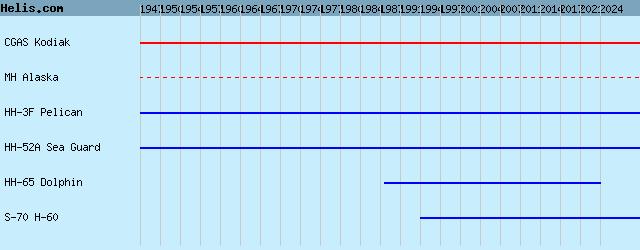
List of aircraft and events at Kodiak |
By Date | By Serial | By Model
|
|
Helicopters for sale
Accidents
Acronyms
Airshows
Future helicopters
Flying a helicopter
Helicopter stories
TV and movies
Helicopter books
Helicopter patches
Helicopter model kits

|